The Devil was in the Detail
29th January 2024
Geotechnical • Specialist Services
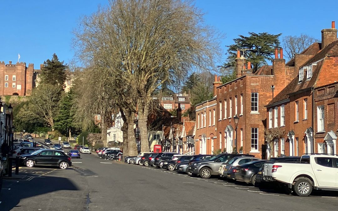
Our Client
Preliminary-Assessment
Our Challenge
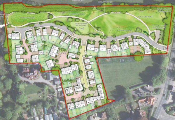
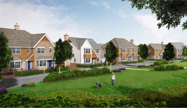
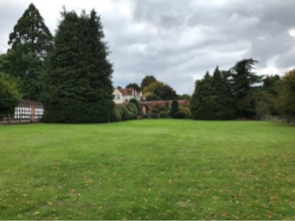
The proposed development comprised the construction of ~65 residential dwellings with associated hardstanding parking areas and soft landscaped rear gardens across the site. It also included areas of communal soft landscaping and attenuation basins within the northern half of the site adjacent to the northern boundary.
Following the investigation, the client required us to include, among others, recommendations on geotechnical aspects and associated proposals.
The main geological challenge was chalk dissolution and associated implications, together with the influence of trees in parts of the site, as well as the variable ground conditions across the large site.
The Ground & Water Approach
 The initial site investigation was undertaken in September 2022 and comprised the drilling of six Windowless Sampler Boreholes to depths of between 1.23 – 5.45m bgl with Standard Penetration Tests at 1.00m intervals. Super Heavy Dynamic Probes were undertaken through the base of boreholes to final depths of 3.00 – 5.00m bgl.
The ground model for the site after the initial set of site works indicated the superficial Head Deposits to be deeper in the north-western part of the site (2.40 – >5.45m bgl), becoming shallower towards the east (1.70 – 1.80m bgl) and south. These were generally absent in the southern part of the site, which was in accordance with the anticipated geology of the area.
The Additional Investigation – Design and Implementation
Additional site works were undertaken and comprised the drilling of 145 Super Heavy Dynamic Probes across the site to depths of between 1.60m – 12.00m bgl, in order to carry out a more precise geotechnical risk assessment. The drilling locations within the north-western and north-eastern grids were determined using a 10m x 10m format whilst the southern grid used a 13m x 13m format. Prior to the commencement of site works, the probing locations were geo-marked.
The Outcome
In broad terms, it was recommended the rest of the plots in the northern section could use strip foundations at specific depths, based on tree requirements within superficial clay. This took into account the results of the volume change potential of the soils, and the noted soft zones; with proposed allowable bearing pressures and the use of mesh to allow for differential settlements. In the southern section, traditional strip footings at shallow depths were applicable, as the non – volume change potential chalk bedrock was shallow, consistent and without particular soft zones.
This site investigation brought home the risks associated with Chalk Dissolution and the benefits of carrying out an extensive intrusive investigation as described here. Failure properly identify the specific risk areas can lead to significant headaches and costs for the developer if properties are affected by subsidence – or worse – at some point in the future.