Taking UXO, size, contamination and deep river deposits in our stride
23rd January 2024
Geoenvironmental • Geotechnical • Specialist Services
Our Client
Preliminary-Assessment
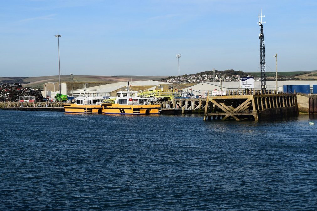
At first, the site appeared to comprise undeveloped fields on the floodplain to the east of the river Ouse. The geological maps for the area revealed that the site was underlain by superficial Alluvium and bedrock deposits of the Newhaven Chalk Formation. Undifferentiated River Terrace Deposits were anticipated to be encountered underlying the Alluvium. The maps indicated no areas of Made Ground within a 250m radius of the site.
Our Challenge
The Desk Study also revealed that the site was located within a high-risk area associated with unexploded ordnance (UXO) from two potential sources during WWII. These comprised German air delivered UXO due to Newhaven Harbour and Newhaven Fort ~500m to the west being Luftwaffe targets; and from Allied UXO from a nearby artillery range. This resulted in the need for UXO specialist presence on site during excavations and for an intrusive magnetometer survey of all borehole locations down to the perceived maximum bomb penetration depth for the site which was estimated to be 15m bgl.
A chalk dissolution risk assessment indicated a negligible risk from the dissolution of soluble rocks at the site.
The Ground & Water Approach
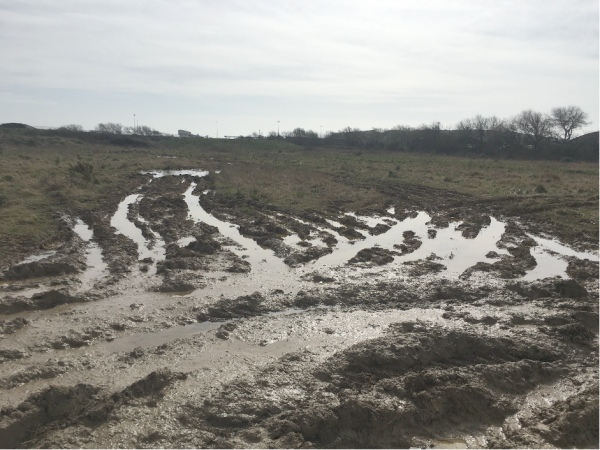
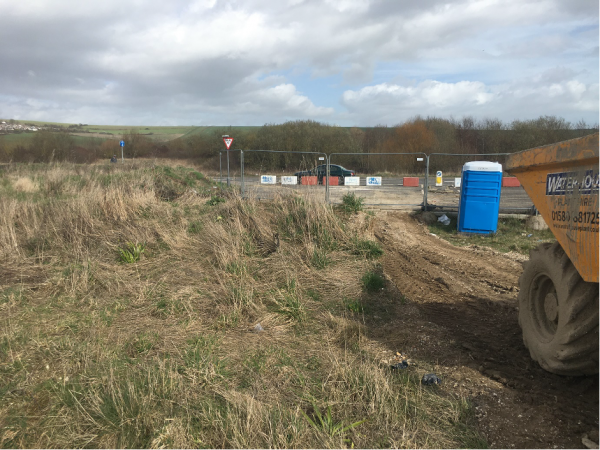 Site works were undertaken during February and March 2023 and comprised the drilling of seven Cable Percussion Boreholes (BH1 – BH7) to a depth of between 30.00 – 30.70m bgl with the installation of a combined ground-gas/groundwater monitoring standpipe to a depth of 5.00m bgl within each of the boreholes, with a response zone between 1.00 – 5.00m bgl.
In addition, nine Windowless Sampler Boreholes (WS1 – WS2 and WS4 – WS10) were drilled to depths of between 3.00 – 5.00m bgl and a total of 12 trial pits were machine excavated to a depth of between 1.40 – 2.20m bgl across the site. All boreholes and excavations were monitored by the UXO specialist at all times.
The ground conditions encountered within the trial holes revealed a capping of Made Ground (2.00 – >5.00m in thickness) which was noted to overlie Alluvium (1.90 – 4.30m in thickness) and Undifferentiated River Terrace Deposits (~20m in thickness) with the bedrock Newhaven Chalk Formation encountered at depths of ~28.00 – 29.00m bgl).
 Groundwater was encountered in the deeper boreholes as follows: in BH4 at a depth of 5.90m bgl, rising to a depth of 5.40m bgl after 20 minutes; in BH5 at a depth of 6.10m bgl, rising to a depth of 4.80m bgl after 20 minutes; and in BH7 at a depth of 7.20m bgl, rising to a depth of 6.80m bgl after 20 minutes. Groundwater strikes were noted in the majority of the windowless sampler boreholes at depths of between 3.50 – 4.00m bgl. A localised groundwater strike was noted at a depth of 2.10m bgl in TP3.
Chemical laboratory testing was undertaken on 10 samples of Made Ground. While no proposed development had been confirmed, since it represented the most conservative land use scenario, the results of the chemical laboratory testing were compared to the Generic Assessment Criteria (GAC) for a ‘Residential with homegrown produce’ land-use scenario, as this was considered the most appropriate land-use scenario.
The comparison between the results laboratory analysis and the assessment criteria indicated an unacceptable risk to future receptors caused by exceedances of the following determinands: Benzo(a)anthracene, Benzo(a)pyrene; Benzo(b)fluoranthene; Chrysene; and Dibenzo(a,h)anthracene. The remaining determinands were identified at below the adopted screening value and are not considered to represent an unacceptable risk to future receptors.
Ground gas readings revealed no methane, carbon dioxide up to a maximum of 4.30% and a minimum oxygen concentration of 1.4%. The maximum PID reading to date was 2.40 ppm, which is considered as low.
The Outcome
The investigation has also shown that Specialist UXO supervision will be required during the drilling of the piles.
As part of this a piling, groundwater risk assessment was required. As the piles may extend into the aquifer beneath the site, the potential for preferential pathways created by the piling method needed to be considered. Groundwater samples should be taken to confirm that no further action is considered necessary.
Due to the nature of the contamination encountered at the site, it was considered that there was an unacceptable risk to future receptors. Once proposals for the final development have been finalised, additional samples of Made Ground should be taken from trial holes targeted at proposed private garden and soft landscaped areas. This would enable an appropriate remediation strategy to be proposed.
The results of the ground-gas monitoring classified the site as CS1 where no ground-gas protection measures would be required.